What it writes
Nine fields with confidence (blank if unsure)
An empty field is easy to fill in later. A confident wrong one follows the photograph into every export, every album and every backup you will ever restore from. So the right-hand column matters as much as the left.
Written where they belong
The words go into the standard IPTC fields the photograph itself can carry — Title, Caption, Extended Description, Alt Text, Location, City, State, Country and its ISO code. Nine of them, none proprietary, none that only PhotoWrite can read. In Lightroom they land in the catalogue and travel out with every export; in a browser they are written straight into copies of your files. Open one anywhere and they're there.
Which also means getting them right matters. A caption written into an archive is permanent in a way a search filter never is — so the care PhotoWrite takes about not writing is as much the point as what it writes.
Only where you have left the field empty. Replacing something you wrote yourself is a box you have to tick.
- TitleA few words naming the picture, taken from what is actually in the frame.
- CaptionOne sentence describing the photograph, grounded in what it shows rather than in where it was taken.
- Extended DescriptionThe fuller account, for a reader who cannot see the picture at all.
- Alt TextShort, and written to accessibility rules rather than to this site's house style — no image of prefix, no mood, nothing that isn't visible.
- LocationThe named subject — the summit, the lake, the arcade — when the read is sure enough of it to put in an archive. Independent agreement from the map makes it surer, and is not a condition: a legible sign on something no map has heard of is a good answer, not a doubtful one.
- City, State, Country, Country codeThe administrative address for the coordinate, looked up rather than guessed. Identical every time for the same spot.
- Anything you wroteIn Lightroom, occupied fields are never touched unless you tick the box, and individual fields can be kept back even then. Your own cataloguing is the most expensive work in the catalogue and the hardest to get back. In a browser the question does not arise: it writes a new copy and never opens your original at all.
- Anything it isn't sure ofLeft empty rather than guessed at.
- A place on a borderWhere a coordinate could honestly belong to two places, it names neither instead of flipping a coin.
- A reading it cannot verifyWhere a name's pronunciation does not follow from its spelling, PhotoWrite uses the mapping authority's own reading or none at all. It will not transliterate a guess and present it as a fact.
- Your keywords, ratings and everything elsePhotoWrite touches nine fields. It has no opinion about the rest of your catalogue.
One picture, four fields
Until 2021 the IPTC international photo standard had one home for prose — the field often labeled "Caption", so a description and a caption competed for one slot. There are now four, for four different readers, and one look by PhotoWrite produces all of them.
- Title
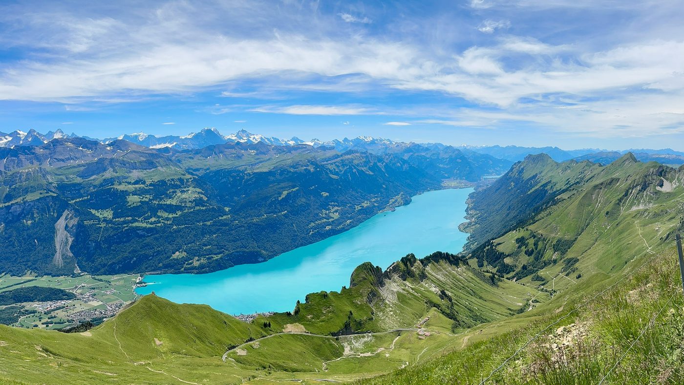
- Lake Brienz from Brienzer Rothorn
Someone scanning a list of frames ·
dc:title - Caption
- Turquoise Lake Brienz seen from the high ridge of the Brienzer Rothorn in the Bernese Oberland.
Someone looking at the picture ·
dc:description - Extended Description
- The photograph shows a panoramic view overlooking Lake Brienz (Brienzersee) from high on the Brienzer Rothorn ridge. The turquoise glacial lake stretches across the valley floor, flanked by steep forested slopes and green alpine meadows. In the far distance across the valley rise the snow-capped peaks of the Bernese Alps under a blue summer sky with light cloud cover.
Someone who cannot see it, and wants the whole account ·
Iptc4xmpCore:ExtDescrAccessibility - Alt Text
- Panoramic mountain view over turquoise Lake Brienz in a valley surrounded by green slopes, with snow-capped alpine peaks in the distance.
Someone using a screen reader ·
Iptc4xmpCore:AltTextAccessibility
What you were looking at
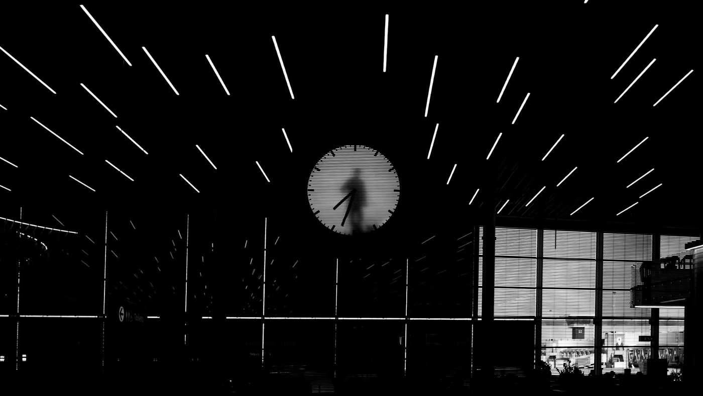
The address is one thing a photograph can be asked for, and it is rarely what the picture is about. The coordinate here puts you in a Dutch municipality. The read names the terminal, then the clock inside it, then the artist and what he is doing behind its face. Only the first of those is written from the map.
- Location
- —
- Title
- —
- Caption
- —
- Extended Description
- —
- Alt Text
- —
- Then the rest of the address
- Haarlemmermeer · Netherlands
- Location
- Luchthaven Schiphol
- Title
- Real Time Clock at Schiphol
- Caption
- The Maarten Baas Real Time clock suspended beneath radiant ceiling lights at Luchthaven Schiphol.
- Extended Description
- A high-contrast black-and-white view shows the Maarten Baas 'Real Time' Schiphol clock installed inside the terminal building at Amsterdam Airport Schiphol. The large circular timepiece features a continuous 12-hour video performance where the artist manually paints and wipes away the clock hands minute by minute from behind a translucent face. Surrounding the clock are radiant linear ceiling light fixtures extending outwards across the darkened airport lounge.
- Alt Text
- High-contrast view of a large circular backlit clock showing a human silhouette moving the clock hands, beneath radial linear ceiling lights.
- Then the rest of the address
- Haarlemmermeer · Netherlands
A real run, through the browser. The photograph, the place and all four texts are exactly what came back; the arrangement is ours. Nothing in a map holds an artist’s name — that came from looking at the picture, which is also why it is the half worth checking before you keep it.
And the one thing you add
Everything else here is derived from the photograph and its coordinate. A note is not: it is a sentence you type before a run, about what the pictures cannot show. It reaches three of the four texts and is kept out of the fourth.
- Location
- —
- Title
- —
- Caption
- —
- Extended Description
- —
- Alt Text
- —
- Then the rest of the address
- Windermere · Westmorland and Furness · United Kingdom
- Location
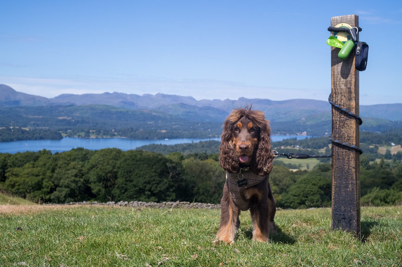
- Orrest Head
- Title
- Norman at Orrest Head
- Caption
- Norman the cocker spaniel poses beside a footpath post on Orrest Head overlooking Windermere and the Lakeland fells.
- Extended Description
- Norman the dog stands on the grassy fellside of Orrest Head tied to a wooden waymarker post. The hill famously inspired Alfred Wainwright's lifelong devotion to the Lake District when he first climbed it in 1930. In the background across Windermere, the Langdale Pikes and the central fells rise under a clear summer sky.
- Alt Text
- A brown cocker spaniel stands on green grass next to a wooden post, with Windermere and distant mountains behind.
- Then the rest of the address
- Windermere · Westmorland and Furness · United Kingdom
A real run, and that one line above it is everything a person contributed. Nothing in the photograph says the dog is called Norman, which is why the title, the caption and the extended description all know him. The alt text does not, and that is a rule rather than an omission — alt text describes what is visible in the frame, and a name is not.
Ten frames, one narrative
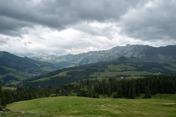
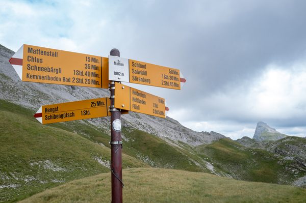
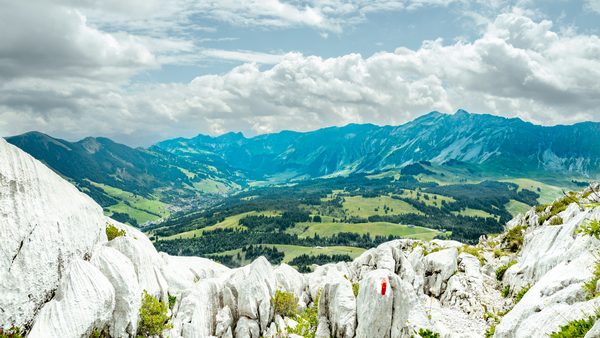
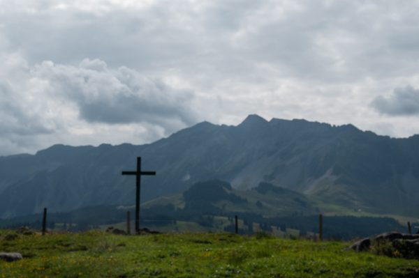
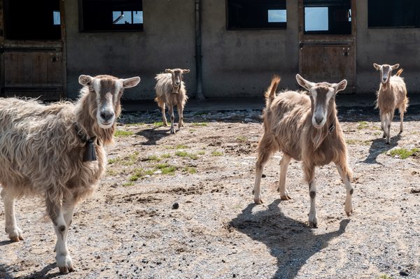
One account of the place all ten are of, written from those ten frames and nothing else — no map, no gazetteer, no second look at the pictures. The place names in it (Alp Schlund · Hängst · Matten · Schrattenfluh) are the ones those scans had already settled on, and the heights are the ones their own descriptions recorded. It costs nothing: every word was paid for when the ten were scanned. And it arrives in the text file beside the copies, which is where the four fields most viewers will not show you can be read back.
The combined narrative, as it came back
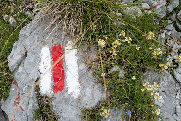
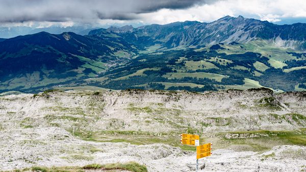
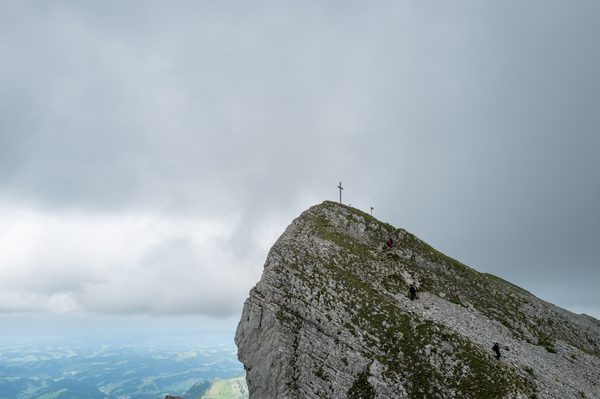
The Schrattenfluh is a rugged limestone karst ridge in the Emmental Alps, situated within Flühli in the UNESCO Biosphere Entlebuch. The massif is characterized by extensive lapies, bare limestone pavements, and eroded karren formations sculpted by weathering, rising above forested valleys, coniferous woodland, and alpine meadows. Marked alpine paths across the terrain are indicated by standard red-and-white trail paint on the rock and yellow Swiss hiking signposts.
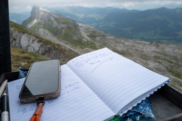
Near the foot of the massif sits Alp Schlund, an alpine dairy farm and pasture area where domestic goats graze during the summer grazing season and a dark wooden cross stands in an open meadow. Higher on the ridge, the Matten trail junction rests at an elevation of 1962 metres where grassy slopes transition into limestone karst. Hängst, also known as Hengst, forms the highest summit of the Schrattenfluh, featuring a rocky crest bounded by steep cliffs, a summit cross, a yellow signpost, and a metal register box holding a Gipfelbuch that looks out over the surrounding pre-Alps.
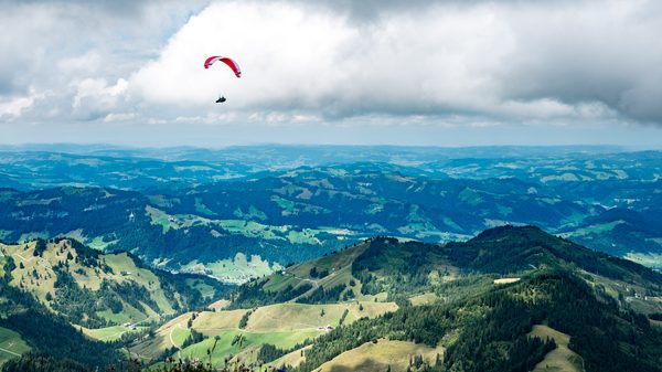
One of the ten, and what it got on its own
- Location
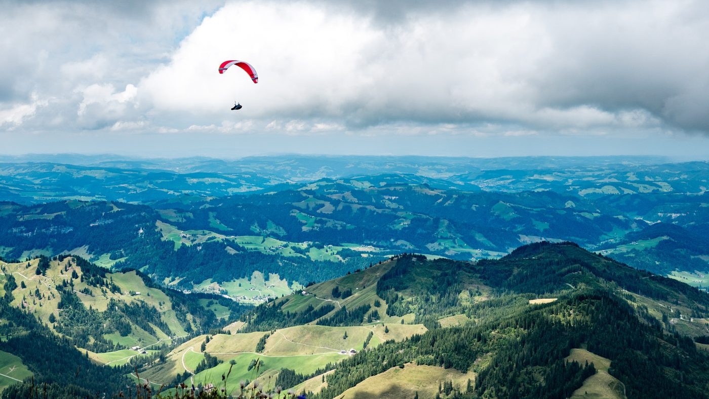
- Hängst
- Title
- Paraglider over Hängst Ridge
- Caption
- A paraglider soars under summer clouds against the rolling hills of the Entlebuch region viewed from Hängst.
- Extended Description
- A paraglider glides through the air above a wide panorama of forested ridges and green Alpine foothills. The vantage point is situated along the ridge of Hängst, the highest summit of the karst-rich Schrattenfluh massif in the Emmental Alps. The expansive surrounding landscape forms part of the protected UNESCO Biosphere Entlebuch region.
- Alt Text
- A paraglider with a red and white canopy glides over vast green rolling hills and valleys beneath large white clouds.
Every one of the ten got this — its own four texts and its own place, from its own look at its own picture. Nothing here is about the set. Hängst is this frame’s answer, and it is where the account above learned the name.